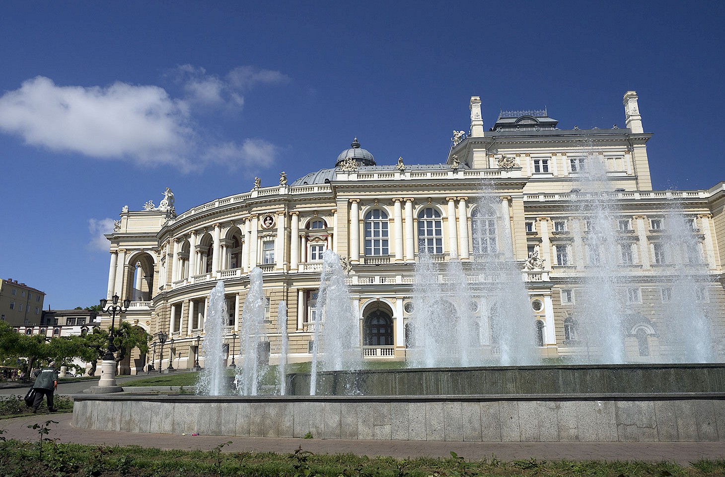
Where might you find the inventor of the telephone rubbing shoulders with an English queen, a Duke of Savoy and an Austrian archduke? The answer will come easily to those readers of hidden europe who are conversant with the history of polar exploration.
It was 140 years ago this year that an Austro- Hungarian expedition stumbled entirely by chance on Franz Josef Land, the Arctic archipelago which is now Russian territory. The schooner Tegetthof set sail from Tromsø in northern Norway in summer 1872, bound for the North Pole. This was an extraordinarily ambitious venture for those days, and well predated other serious attempts to reach the Pole. The expedition was only a few weeks underway when the Tegetthof became stuck fast in pack ice. She drifted with the ice for two years, erratically wandering through the Arctic region.
The hapless voyagers on board the schooner never came remotely close to the North Pole but in August 1873, their ship still encased in ice, they spotted land in the distance. They left their vessel (which was going nowhere fast) and skied ashore to explore this territory that featured on no charts. And they named it in honour of the then Habsburg Emperor Franz Joseph, wholly unaware that the archipelago on which they had chanced covered an area as large as Upper Austria. In truth, Dutch whalers and Norwegian trappers had almost certainly glimpsed some of the Franz Josef Land islands prior to the voyage of the Tegetthof, but those earlier polar travellers, inspired more by the lure of wealth than by imperial vanity, never took it upon themselves to name the islands or any of their features.
Over more than 50 years between the Tegetthof expedition and Franz Josef Land becoming part of the Soviet Union, explorers from many nations ventured to the territory, each adding their own veneer of cartographic authority — usually reflecting the national interests of the explorers themselves and often with an eye to gratifying their sponsors.